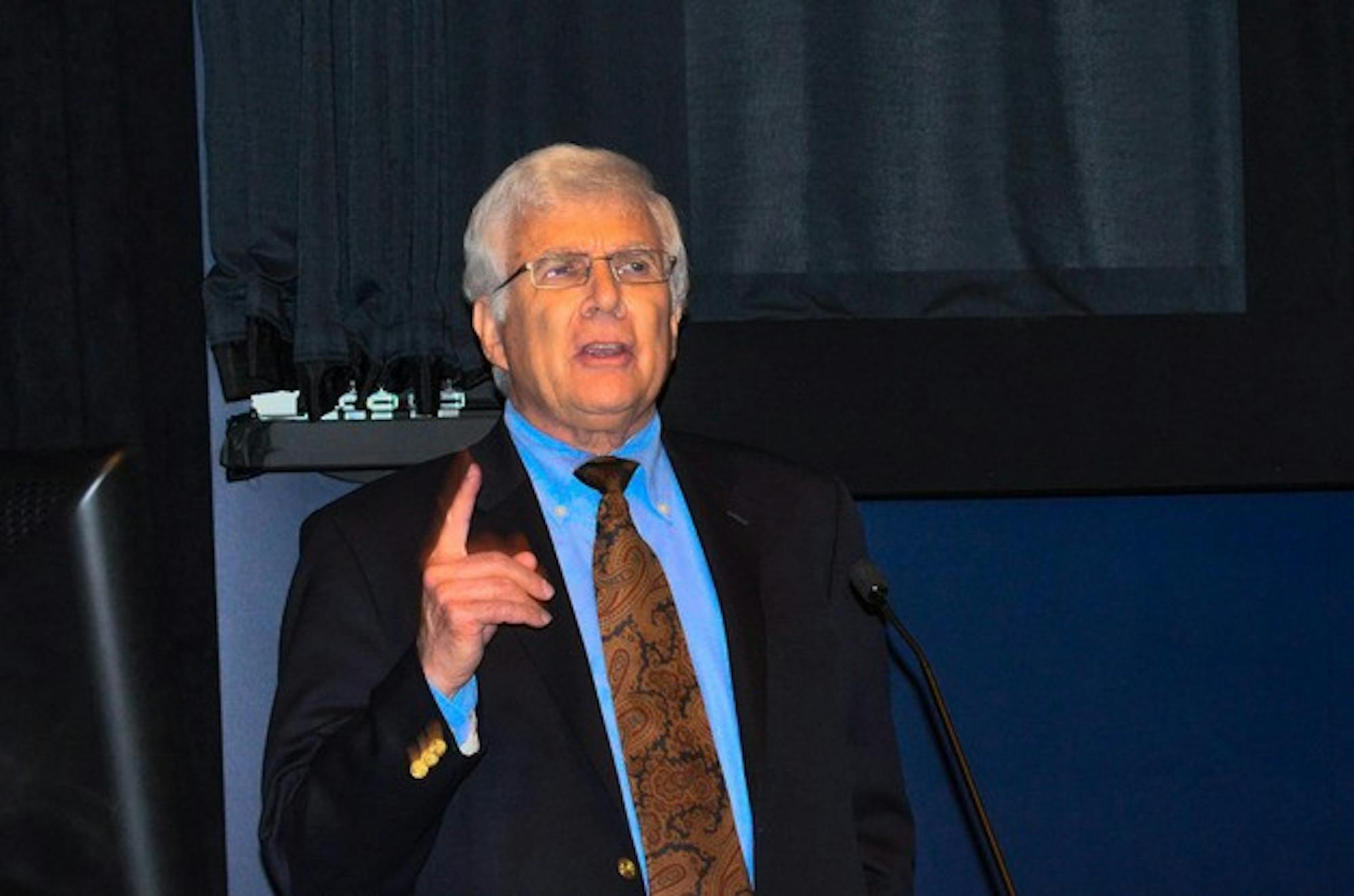
Showing the audience dozens of maps made over three centuries, Monmonier spoke about the ways in which cartography can be used as propaganda. Because they are seen as objective depictions of reality yet are easy to manipulate, governments and mapmakers can create maps that distort geopolitics.
Nazi Germany consistently provided propaganda maps to its people, such as one that pitted a small Berlin against an inflated Poland. The map was titled "A Small State Threatens Germany," Monmonier explained after first shouting the title in German.
"It's almost a pathology here, the ways the Nazis basically used maps to justify their argument," he said.
Monmonier also displayed a Nazi map showing Germany on one side and England and its colonies on the other, which propagandists used to show that Germany was not an aggressor. He added, however, that these maps did not change many viewers' allegiances during World War II.
"I think that they oftentimes are useful in preaching to the choir," he said. "It's hard to say that any of these maps have convinced anybody who was not already predisposed to see Germany as a victim."
People on both sides of the Israeli-Palestinian conflict have also used maps to advance their own arguments, often using cartographic silences, a technique that leaves out a certain area from the map. Monmonier showed an Israeli map that did not include a Palestinian village and a Jordanian map that excluded Israel altogether.
In other cases, mapmaking has affected the lives of people inhabiting the map's domain. In the mid-1800s, colonial powers carved out territories in Africa that ignored the continent's deep tribal divisions, creating territories rife with internal conflict.
"Maps allowed colonial powers to draw persuasive lines," he said. "Consequently, in the post-colonial era, one found that many of the new states did not work out very well."
While drawing borders such as those in Africa created new nations, other countries' borders are more reflective of their internal politics. Presenting a picture of the boundary between Haiti and the Dominican Republic, Monmonier contrasted the Dominican Republic's lush greenery with Haiti's rampant deforestation, a division visible from space.
America has its own history of politicized map usage as well, Monmonier said. Senator Joseph McCarthy and the John Birch Society heightened anti-Communist fears in the 1950s by using maps that exaggerated the extent of communism, such as ones showing a swollen Russia and China.
Gerrymandering has also affected American politics, as politicians can create oddly-shaped districts designed to achieve a partisan or racial electoral goal. Though this practice began in 1812 with Massachusetts governor Elbridge Gerry, Monmonier showed an even more convoluted district that former President George H. W. Bush drew in 1990, which he called a "Bushmander."
Prohibitive maps, which ban certain activities or block off certain areas, became common in the 1900s as new forms of government regulation such as no-fly zones and zoning laws required the creation of new maps.
Though the public is familiar with such maps, Monmonier cited a concern with "creeping acquiescence" to greater and greater restrictions. Technological advances, such as increasing GPS accuracy, may make the issue more obvious.
Monmonier said he could envision a day in which parents use GPS chip implants to monitor their children, with a "taking out" party on the child's 21st birthday. Tracking practices such as these have been called "geoslavery," he said.
"It can be scary," Monmonier said. "There's a risk of technological determinism, saying if something can be done it will be done, but one sort of wonders."
Attendees said they were intrigued by the strong political influences that maps have had across time.
Tobin Paxton '15 said the discussion on geoslavery was particularly relevant given recent controversy surrounding the National Security Agency's tracking of cell phone data.
Claire Margolis, a rising junior at Stanford University, said she was most interested in the use of maps as propaganda, especially in Nazi Germany.
"It's mind-blowing that they could've manipulated that many people, and maps were one of the best tools they had to do it," Margolis said.
Digital humanities professor Mary Flanagan, who helped organize the lecture, said she was most interested in what maps revealed about their makers' intentions. She added that studying maps is appealing to many people because it involves fields from the arts to the social sciences.
"Mapping seems to be a really great interdisciplinary area," Flanagan said. "There seem to be a good number of people who can find something relevant in maps."
The lecture, titled "Persuasive Cartography: Using Maps to Influence Opinion and Control Behavior," was sponsored by the geography and digital humanities departments.


